
Sea distance and voyage time
Braila → Ventspils
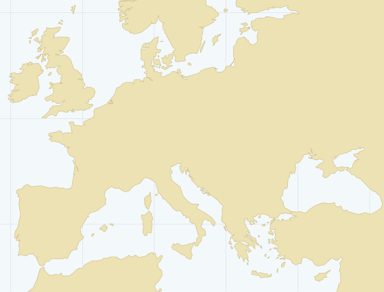
Braila, Romania to Ventspils, Latvia: 4,391 nautical miles along the shipping lanes, via Bosporus, Dardanelles, Strait of Messina, Strait of Gibraltar, English Channel, Strait of Dover, Skagerrak, Øresund, Great Belt.
Sea distance
4,391 nautical miles
- At 12 knots
- 15.2 days at sea
- Port time
- 4.0 days
- Voyage total
- 19.2 days
- At 10 / 12 / 14 knots
- 18.3 / 15.2 / 13.1 days at sea
- Passages
- Bosporus, Dardanelles, Strait of Messina, Strait of Gibraltar, English Channel, Strait of Dover, Skagerrak, Øresund, Great Belt
Indicative. Weather, canal transits, bunkering calls and waiting at anchor add to the real voyage. Port time depends on rates and terms at both ends.
Port of loading: Braila, Romania
- Channel depth
- 11.0 m
- Cargo pier depth
- 6.4 m
- Max vessel draft
- n/a
- Max vessel length
- 141 m
- Harbor size
- Very Small
- Cranes
- fixed, mobile
Port of discharge: Ventspils, Latvia
- Channel depth
- 11.0 m
- Cargo pier depth
- 15.0 m
- Max vessel draft
- 15.0 m
- Max vessel length
- 277 m
- Harbor size
- Medium
- Cranes
- fixed, mobile, floating