
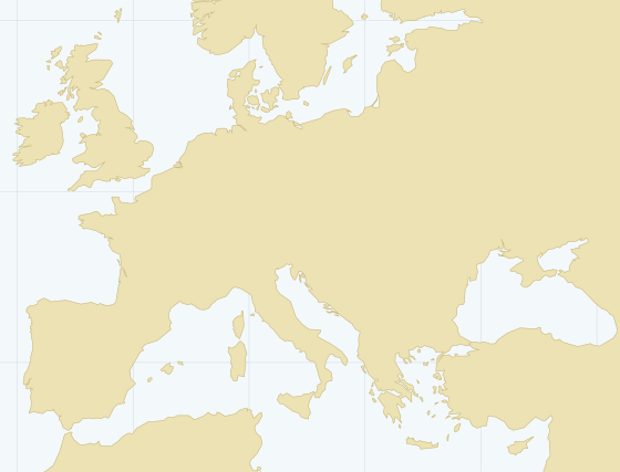
Mediterranean · UN/LOCODE TR BDM
Bandirma, Turkey
Very Small coastal (breakwater) on the Sea of Marmara. Channel depth 23.2 m, cargo pier depth 7.9 m, cranes: mobile. A port of our fixtures.
Port facts
World Port Index record "Bandirma". A value of n/a means the index carries no figure; confirm with the agent before fixing.
Depths and limits
- Channel depth
- 23.2 m
- Anchorage depth
- 11.0 m
- Cargo pier depth
- 7.9 m
- Oil terminal depth
- n/a
- Max vessel length
- n/a
- Max vessel beam
- n/a
- Max vessel draft
- n/a
- Tidal range
- n/a
Harbour
- Size
- Very Small
- Type
- Coastal (Breakwater)
- Shelter
- Fair
- Tide restriction
- no
- Heavy swell restriction
- no
- Ice restriction
- no
- Pilotage compulsory
- yes
- Tug assistance
- yes
Facilities
- Wharves
- yes
- Solid bulk
- n/a
- Breakbulk
- n/a
- Ro-Ro
- n/a
- Liquid bulk
- n/a
- Container
- n/a
- Cranes
- mobile
- Lifts
- 25–49 t
- Railway
- Medium
- Repairs
- Limited
- Dry dock
- Unknown
Source: World Port Index, NGA Pub 150 (public domain), latitude 40.35, longitude 27.966667.
Sea distances from Bandirma
To reference ports of our trades, along the global shipping-lane network. Any other pair — in the voyage tool.
| To | Distance, nm | Days at 10 kn | Days at 12 kn | Days at 14 kn | |
|---|---|---|---|---|---|
| Odessa, Ukraine | 416 | 1.7 | 1.4 | 1.2 | Open |
| Constanta, Romania | 267 | 1.1 | 0.9 | 0.8 | Open |
| Izmail, Ukraine | 336 | 1.4 | 1.2 | 1 | Open |
| Izmir, Turkey | 288 | 1.2 | 1 | 0.9 | Open |
| Barcelona, Spain | 1,463 | 6.1 | 5.1 | 4.4 | Open |
| Rotterdam, Netherlands | 3,193 | 13.3 | 11.1 | 9.5 | Open |
| Jeddah, Saudi Arabia | 1,524 | 6.4 | 5.3 | 4.5 | Open |
| Jebel Ali, UAE | 3,786 | 15.8 | 13.1 | 11.3 | Open |
| Shanghai, China | 8,069 | 33.6 | 28 | 24 | Open |
Our fixtures at Bandirma
| When | Vessel | Cargo | Quantity | Load → discharge | |
|---|---|---|---|---|---|
| July 2024 | M/V Bahar | Corn | 3,000 mt | Izmail, Ukraine → Bandirma, Turkey | 3 photos, 3 videos |
Nearest ports of our trades
- Marmara Sea ports, Turkey about 34 nm as the crow flies
- Aliaga, Turkey about 103 nm as the crow flies
- Izmir, Turkey about 120 nm as the crow flies
- Burgas, Bulgaria about 130 nm as the crow flies
- Varna, Bulgaria about 170 nm as the crow flies
- Constanta, Romania about 231 nm as the crow flies